A Visit to Grand Manan~
This page is about a visit to Grand Manan Island in late September, 2025. I will write this for someone not familiar with the area and take it more or less in the order we experienced it over three days.
The Ferry~
 Above~ The view from the top deck of the ferry going to Grand Manan, New Brunswick.
Grand Manan is a beautiful island in the Bay of Fundy off the southwest coast of New Brunswick, Canada. It was ranked as one of the 7 best small islands in the world by Readers Digest. Relatively unspoiled, it is diverse ranging from marshes and beaches to basalt cliffs and is a major destination for hiking, birding, marine life observing and geological study. With less than 2,500 year round residents, it swells with over 60,000 tourists per year.
Grand Manan is accessed via a ferry that leaves from the Village of Blacks Harbour, NB, which is about a 40 minute drive from the US border at Calais/St. Stephen. Blacks Harbour is also close to St. George and its historic Fish Ladder. To the northwest of Grand Manan is Campobello Island (home of Roosevelt’s summer residence and Herring Cove Provincial Park) and also Deer Island. It is an interesting and beautiful area of the country.
To orient you a bit, about 50 minutes east of Blacks Harbour is Saint John, the oldest city in Canada where you can also catch another ferry–the Digby Ferry to Nova Scotia. Another 40 minutes or so further east of Saint John is the lovely village of St. Martins, with the Sea Caves accessible during low tide and is the gateway to the Fundy Trail Parkway, an incredible drive along the Bay of Fundy.
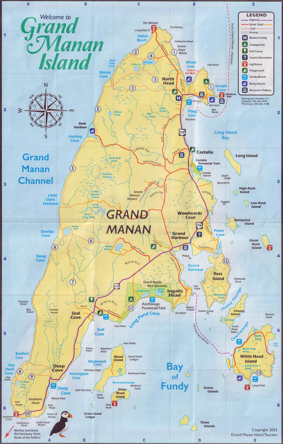 Above~ Scan of the map available from Grand Manan Island Tourism. Available at Ferry Terminals and the Visitor Info Centre at 1021 Rte 776 on the island.
Grand Manan is just close enough to the US coast that you can see Maine from the Southwest Head Lighthouse in the south and Maine and Campobello Island from the North Eddy Lighthouse in the north. Your cellphone may ping off US towers in those locations.
Getting there~
The ferry ride itself is 1 1/2 hours and you should make reservations during the summer tourist season and arrive at least 45 minutes early. Besides the tourists there is the regular traffic of residents and transport trucks. There are four crossings per day increased to seven per day from late June to early October–check the Ferry Schedule for times and phone number. Reservations can also be made at the ferry terminal on either side. There is no fee for going, you pay on the way back, and the kitchen is open once the ferry is well underway. The fish chowder is good, plus cheeseburger platters, etc.
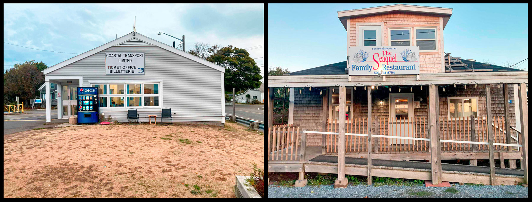 Hint: When you come off the ferry in Grand Manan go into the Ferry Terminal and get a map of the island if you don’t already have one. Also, note the Seaquel Family Restaurant right across from the parking lot. Good spot.
Southwest Head Lighthouse~
Since we arrived off the ferry at 3pm, we decided to forgo the motel check-in and explore down the coast a bit on Rte 776 during good daylight. This gave us a sense of the island and all the little places as we went through Castalia, Grand Harbour, past Anchorage Provincial Park and Seal Cove until we finally came to the end at South Head. Here we got out and took in the vista.
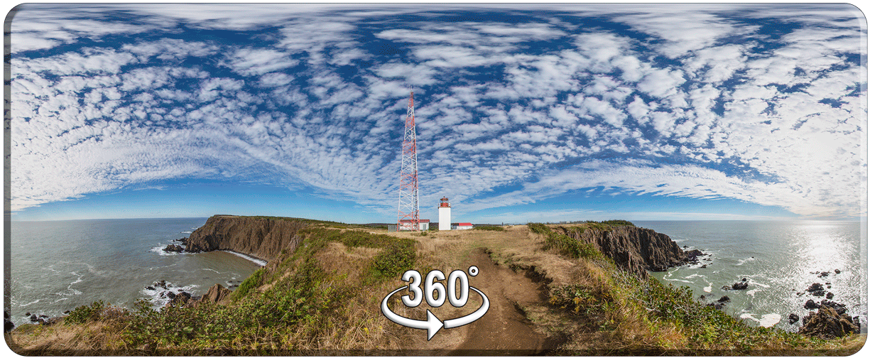 Click the pic and look around, use your mouse or just let it run.

Above~ Looking back at the lighthouse and radio tower from the next bluff north. This is a worthwhile short walk, part of the western side of the Lighthouse Trail (Red Trail) as noted in the Hiking NB book. There is a bench here. The radio tower you see above serves as a navigation aid and VHF direction finding service which also connects ships to landline phone service. The 360 pano was taken to the right of the lighthouse on the very edge of the cliff.

Above~ The bench that God made–at least that’s how it felt at the time. What a view in the late afternoon, watching the Sun over the sea! We sat there in silence, just trying to take it all in, the first of many beautiful experiences on this island.
Below~ View of the great basalt cliffs looking north from the bench. This basalt would come into play again later when we searched for the fault line dividing the basalt formations on the west from the sedimentary deposits on the east.

Seal Cove~
As we headed back to North Head from the lighthouse we stopped at Seal Cove which looked interesting when we went past the first time. There we found a beautiful beach including a children’s playground and a wonderful rabbit warren of buildings lit up in the late afternoon Sun.

I later learned that the rabbit warren of buildings is a National Historic Site. It consists of 54 buildings (many on stilts) which had been used for smoking the herring caught in weirs that are all over the perimeter of the island. What comes across is a very vibrant, close knit community with a unique history.
Slide Show of Seal Cove~
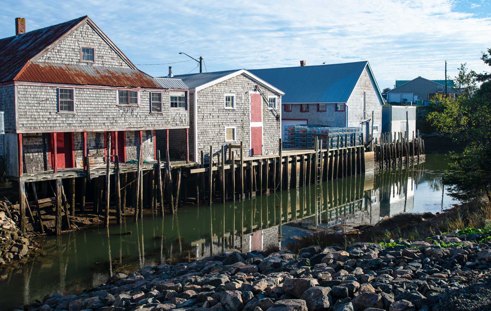
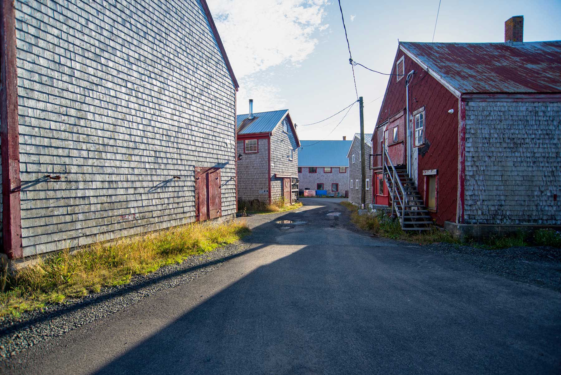
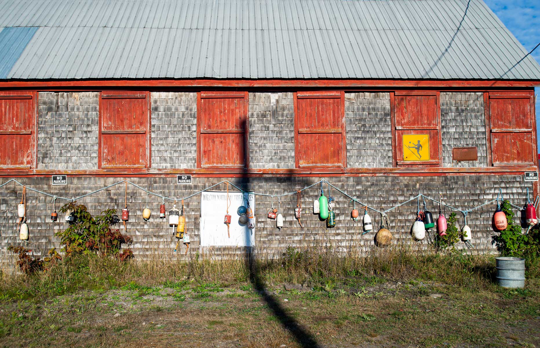
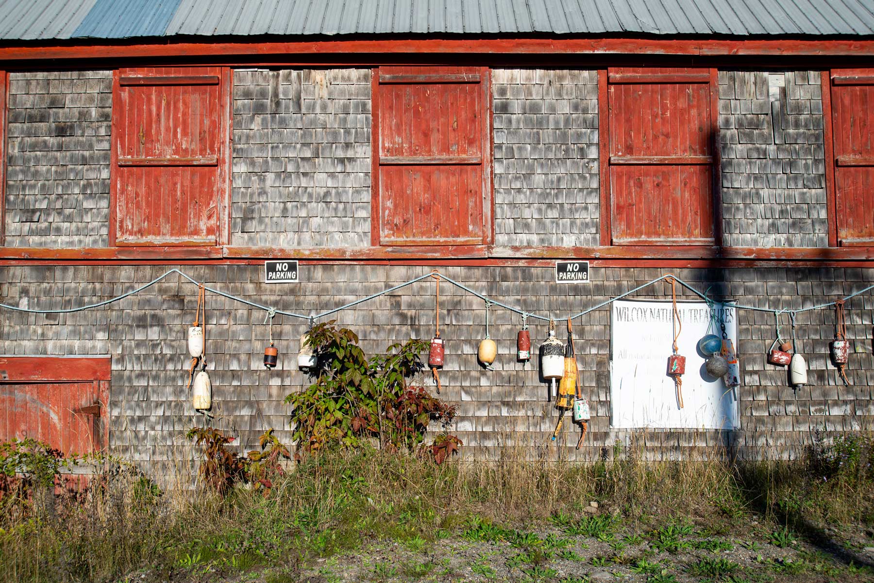
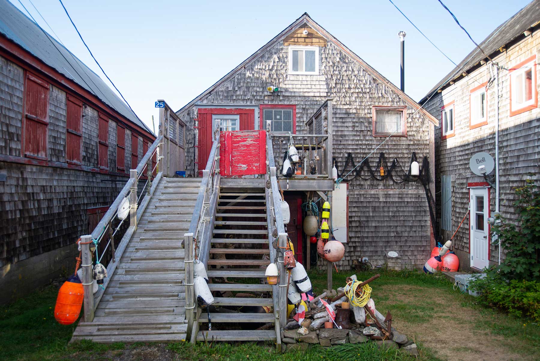
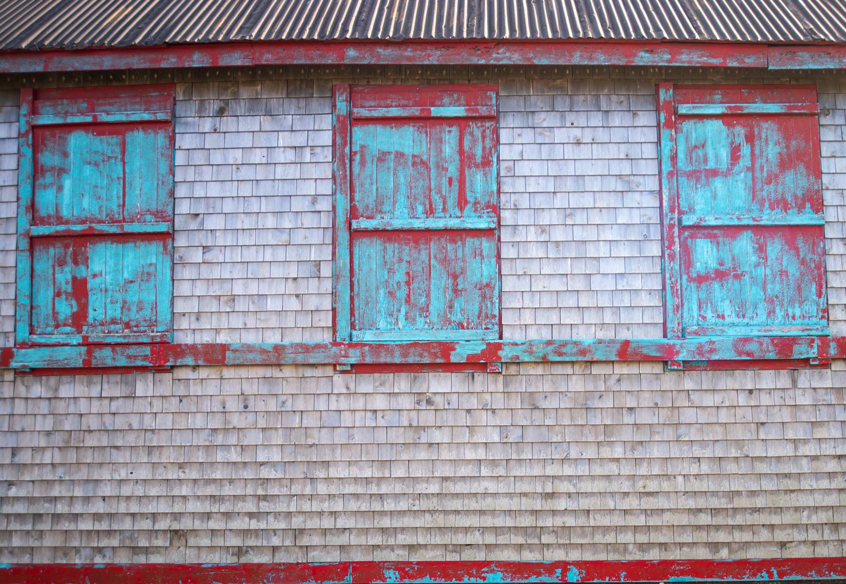
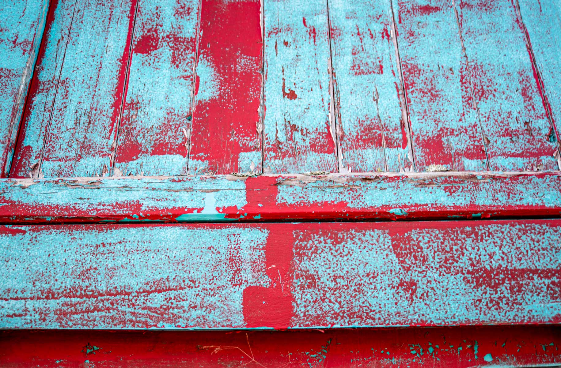
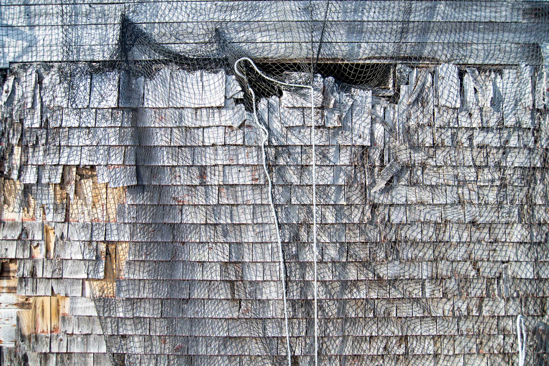
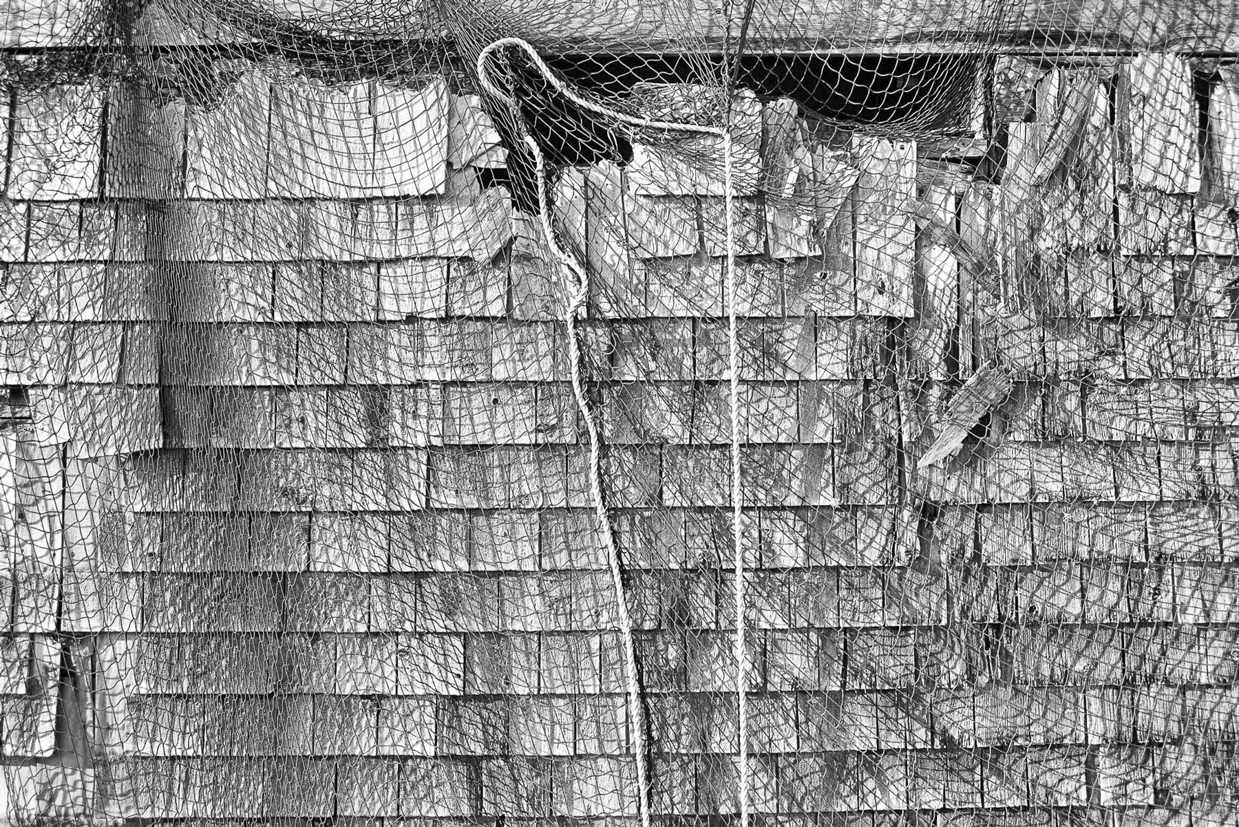
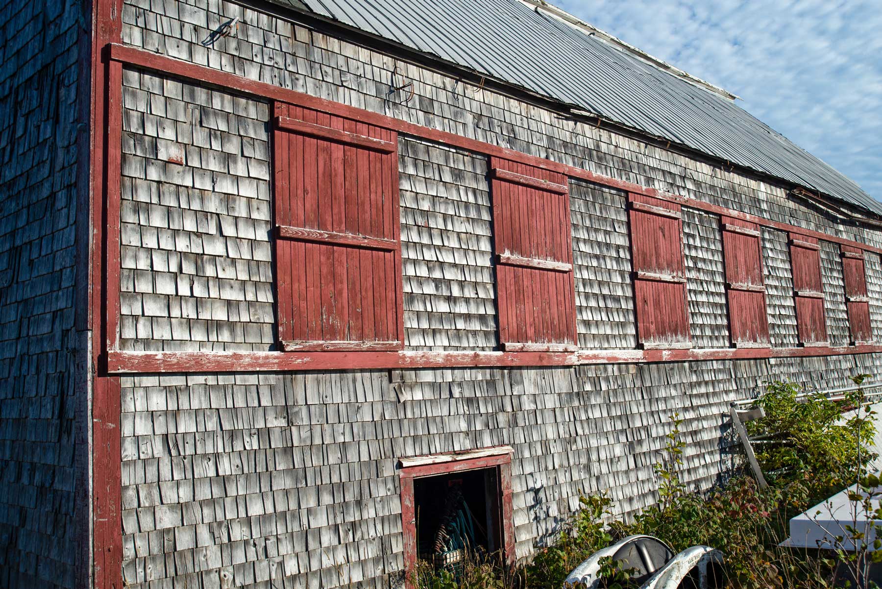
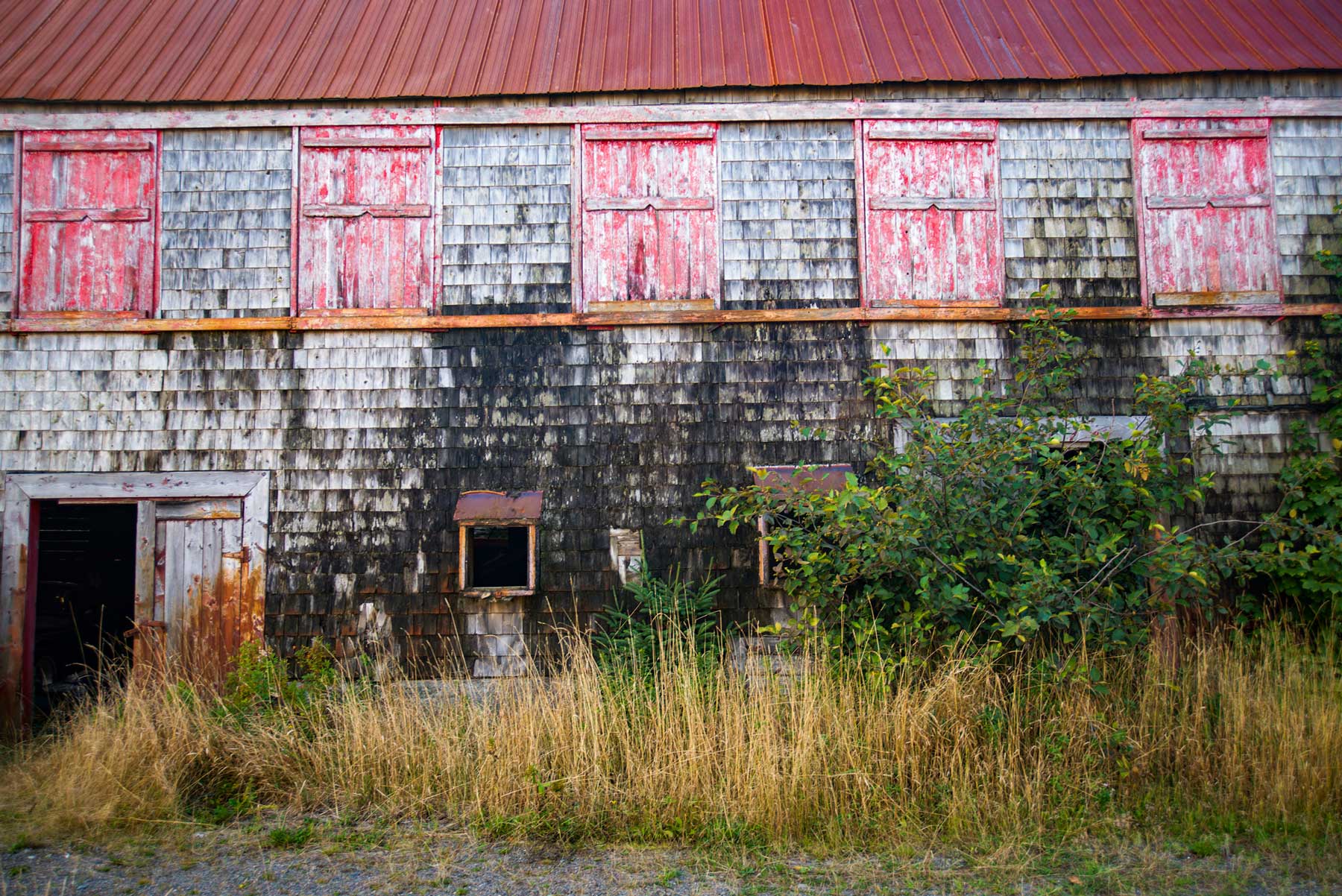
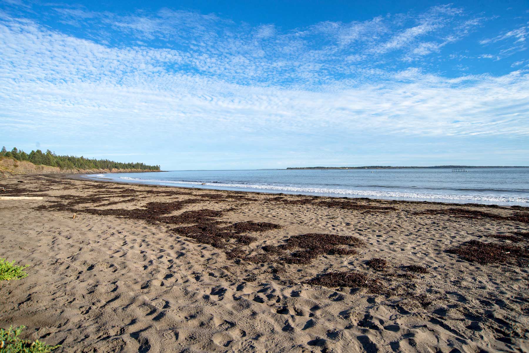
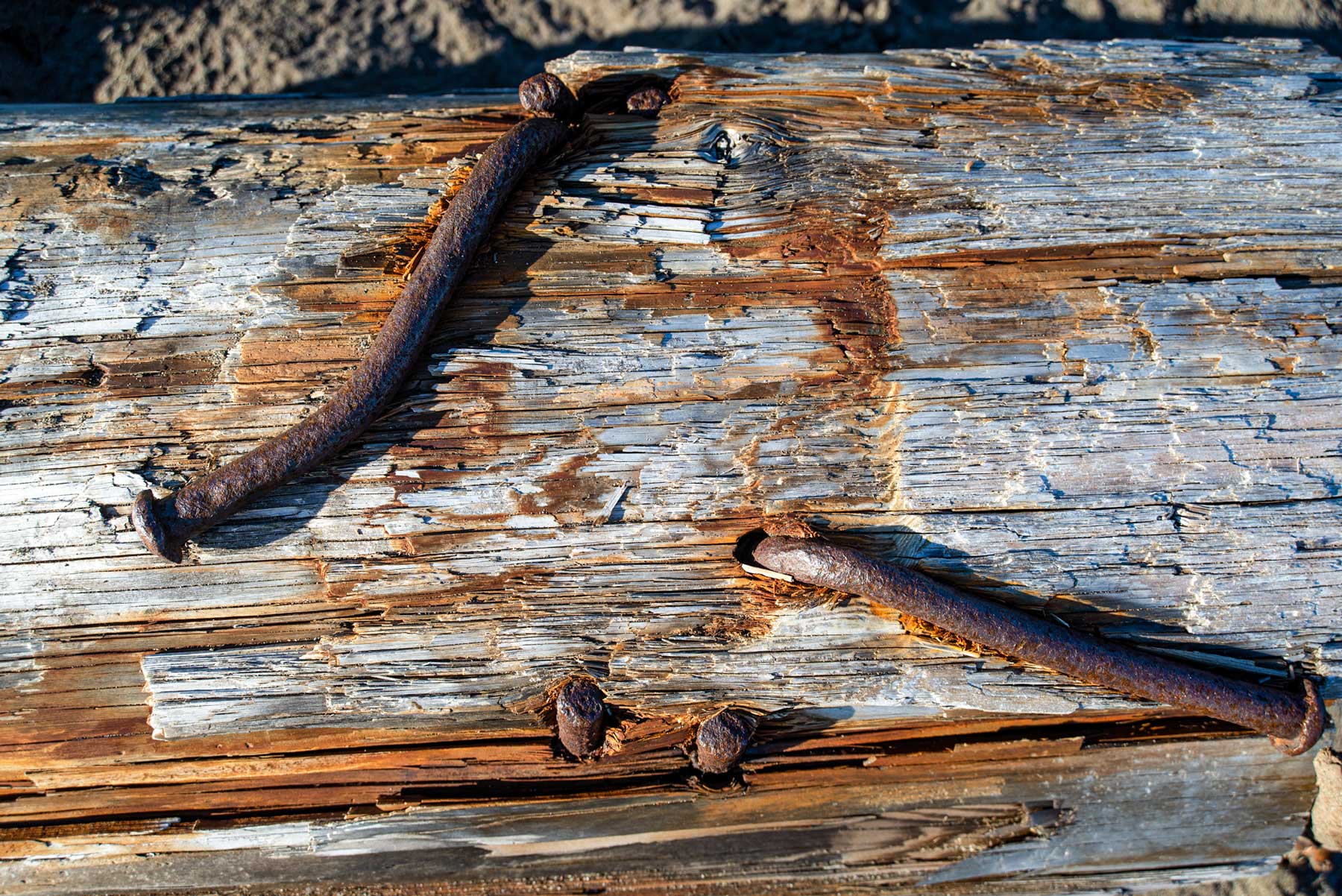
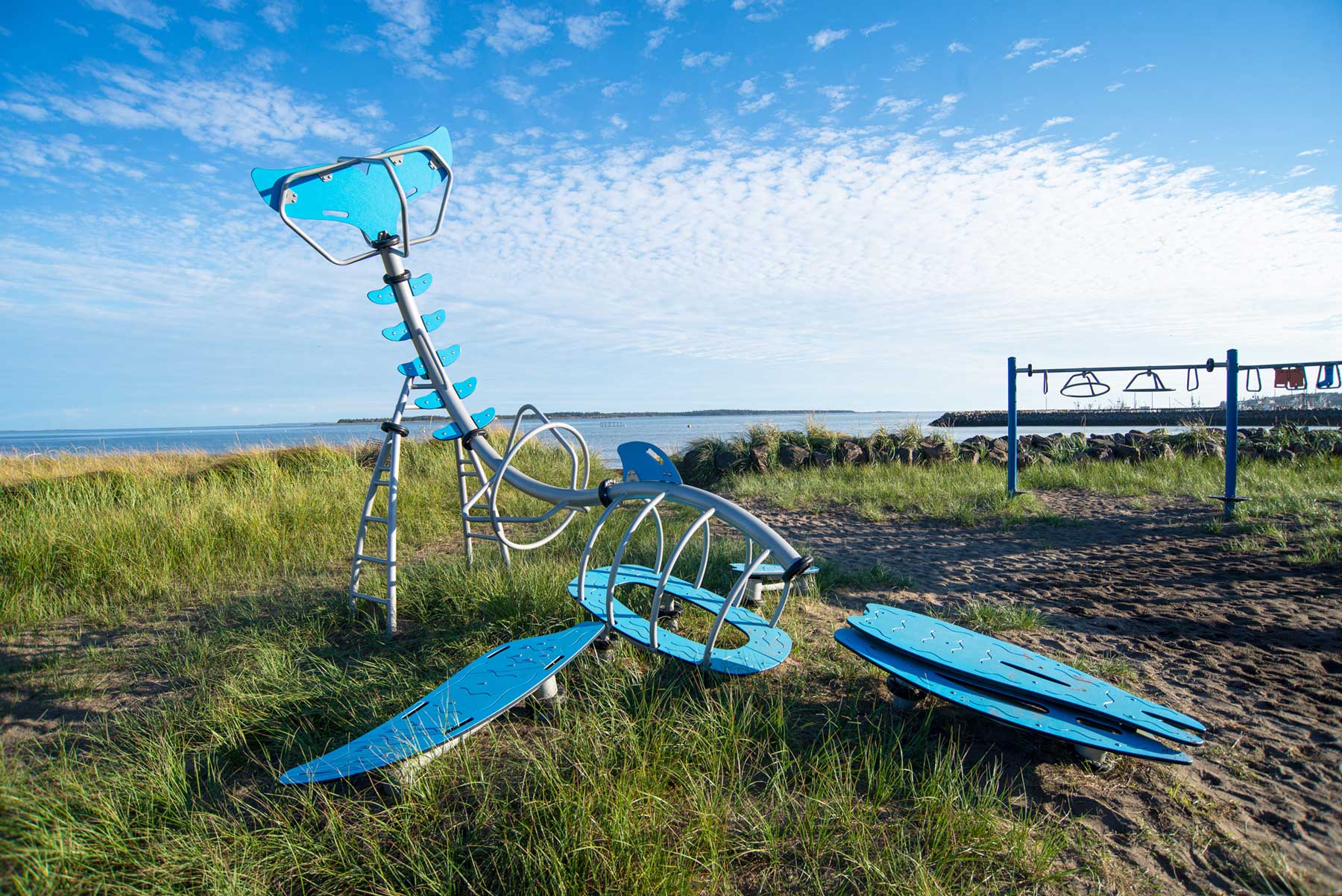
Above~ A very interesting place to walk around. Lots of history.
The Swallowtail~

The Swallowtail Lighthouse is the iconic lighthouse that greets visitors when they arrive and depart the island. Like so much of the island, it is steeped in history. First lit in 1860, it is a Historic Site of Canada and much beloved by residents. In peak summer season it may see 300 visitors per day, and is managed by the Swallowtail Keepers Society, a registered charity. It is named after the shape of the rock formation upon which it was built.

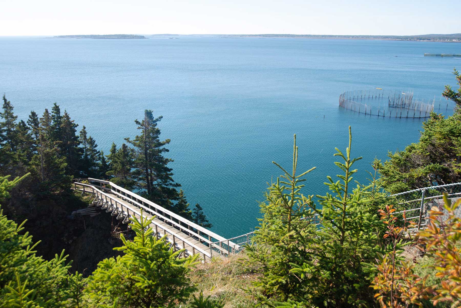
Above~ A walkway crosses over a steep ravine to a path leading to the Lighthouse, Keepers House and outbuildings. Note the herring weir offside.
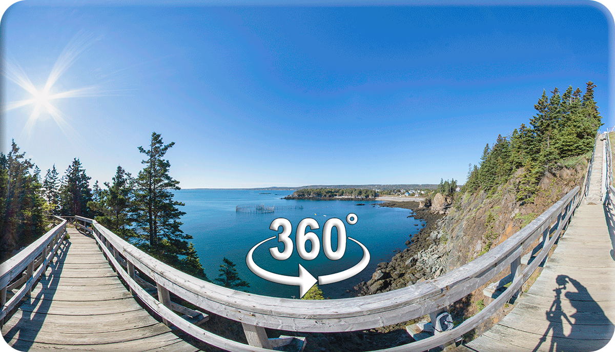 Stand on the walkway, have a look around. Click the pic, use your mouse or let it run.

Above~ The historic two story Light Keepers House (1958) and boat house on the Swallowtail peninsula. The small lighthouse top is a part of a memorial bench on the site of the original 1859 Keepers House. This is a really wonderful spot and captures much of the essence of the Island.
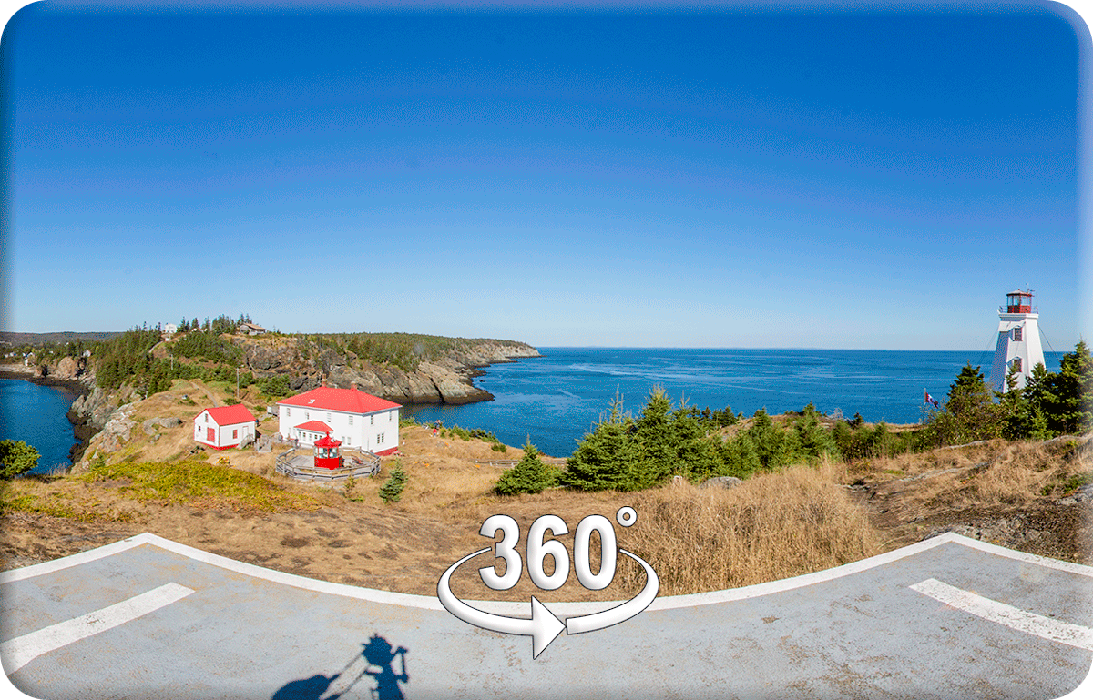 View from the helipad atop the Swallowtail. Have a look around (click the pic).

Above~ The herring weir beside the Swallowtail Lighthouse Station. Note ferry just leaving the harbour. Below~A ferry passing the Swallowtail in the late evening.

The Harbour~

Some of the best moments I had on the island were watching the herring boats leave the wharf at North Head and head out to sea before sunrise. Since I’m an early riser, I grabbed a coffee from the QuikWay in Castalia (good coffee) and went to a small playground with a picnic table right down from the store. I watched the boats glide across the cove against a play of colours as the sky went through different stages of twilight. It was unforgettable.

[FYI: both pics were during a phase called Astronomical Twilight. For more info on the different phases of twilight see Chasing the Blue Hour.]
Quest for a Fault~

The hiking opportunities on Grand Manan are outstanding, and the book Hiking Trails of New Brunswick gives extensive details of the island. They also have excellent coverage on the Hiking NB website, which leads “Grand Manan Island is hands down one of the best places in the province to hike.” On the website they recommend picking up a copy of Heritage Trails and Footpaths on Grand Manan at the drug store ($10), which we did upon arriving.
The books take note of a fault line where the basalt formations formed by volcanic action on the west (seen in cliffs at the SW Head Lighthouse and at Dark Harbour) meet the older sedimentary rock of the east. This fault line runs from Red Point all the way up to Whale Beach but is only exposed at the shoreline at Red Point, which is near Seal Cove (see map near top of page). We went in search of it.
Fault Lines~

Above~ The area is accessed by following Red Point Road to the end and parking near some picnic shelters, then getting to the beach as seen above. Look to the right towards Seal Cove, the fault line is up past a nearby cottage.

Even with only 20 feet or so of bank, you can see the difference with the basalt on the left against the red sandstone on the right. Apparently a small brook runs out of the V shaped fault, but 2025 was a year of major drought in New Brunswick. Below you can see a bit moisture seeping out of the fault in late September.

Below~ Walking back towards the car we began to encounter the red sandstone and sedimentary deposits which totally contrasted with the basalt formations we saw at the Southwest Head Lightstation. Naturalist and photographer Jessica Winder has done an excellent job showing differences between rocks on the east and west side of the fault at Red Point. Worth checking out.

Journey to Dark Harbour~
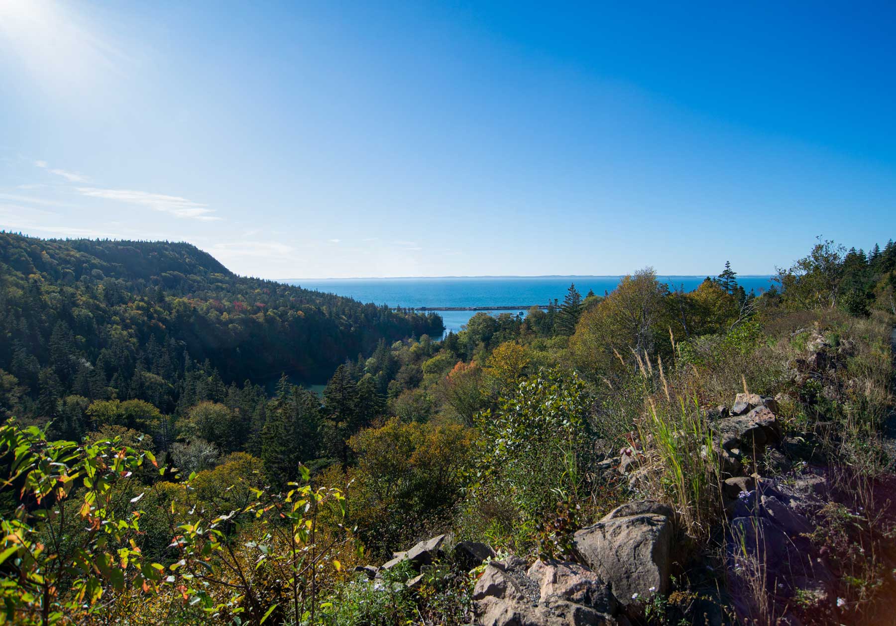
In search of some dulse for a family member, we drove to Dark Harbour on a late afternoon. The basalt cliffs you see below were on the right of the road as I took this pic of Dark Harbour Pond (see the protecting seawall above). Dark Harbour Pond is a National Historic Site (interesting read).


The road ends at the bottom at this rather massive pond which turned out to be the world’s first wild salmon conservation marine farm. This island is just a surprise around every corner. The image on the above right shows just the left hand corner of pond.
On the way back we stopped at a dulse shed and got our supply. You can see the drying beds. Dulse is harvested at low tide every two weeks June to September.

The Castalia Marsh & Provincial Park~

A place kept beckoning “come hither” on our drives up and down Rte 776. One evening we finally pulled onto Marsh Road just as the Sun getting low. Little did I know we were venturing into the what the Reader’s Digest has rated the #1 Best Birding Spot in New Brunswick. This is the Castalia Marsh, the most popular bird watching spot on the island and a major destination for naturalists. Over 225 species have been spotted here, with 40 species of shorebirds alone.

Birding is a major activity on this island. John James Audubon visited the island and surrounding areas in 1831. In fact, I was to learn the entire Grand Manan Archipelago including White Head Island and Machias Seal Island (known for Puffins) is situated on a major eastern flyway and considered one of the top ten birding destinations in North America. Between the hiking, geology, birds, sea life and land fauna this place is a Disneyland for anyone who loves nature. Nice people too.
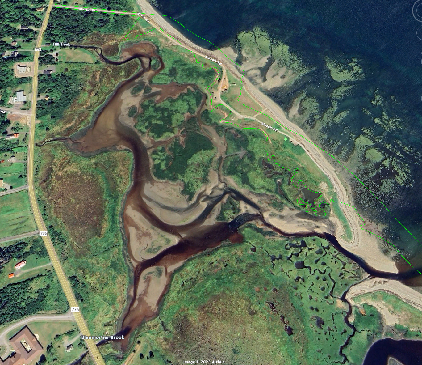 Above~ screenshot from Google Earth of the Castalia Marsh at low tide.
Sunset at Long Eddy~
After we left Castalia we decided to check out the Long Eddy Point Lightstation. When we arrived there appeared to be about twenty people or so sitting on or in some kind of square, wrapped in blankets, facing one direction. I thought we had interrupted a yoga class or something and didn’t want to disturb them, so we just wandered to the Lighthouse. We joined two other people, and wound up immersed in the unfolding scene happening in the sky.

I realized later the crowd was gathered on a helipad for one purpose–to watch the sunset, and for sunsets this is known as the place to be on the island. There is also a 12-person bench down the road a bit. I found out “The Whistle,” as it is known, is also a very popular site for watching whales, porpoises and seabirds. Because of dense fog leading to shipwrecks, it was originally established as a sound-only alert system with a steam fog whistle (hence the name). It was replaced by a foghorn in 1906. The lighthouse light is red, not white, and according to info on the structure, the lights from five lighthouses can be seen from this location. We spotted only two by naked eye on this occasion, and I wished I’d brought my binoculars on this trip.

The North Shore~

Above~ Screenshot from Hiking NB showing location of the Long Eddy Point Lighthouse on the Northern Head. The very northern tip is said to be the “absolutely best place” to see both land and sea birds in the same location (item #6 on the late Brian Dalzell’s Prime Birding Locations). To the right of the tip is the formation known as The Bishop, and if you go further south toward Whale Cove there is the Ashburton Head and the Seven Days Work cliffs (interesting geology). The trail that leads you around this is the Lighthouse Trail>Whale Cove to Whistle Lighthouse Section.
Time did not permit us explore this area during the day on this visit, but I took note of it. The whole area has been called “a hidden gem.”
Hole-in-the-Wall~

The Hole-in-the-Wall is a much loved (and visited) rock formation on the east coast of Grand Manan. In the background you can see Whale Cove which is one of the access points. In the pic above one of my best friends is standing in it, which gives you a sense of proportion. Below left you can see the access trail beside the formation and on the right is another rather incredible rock formation where everyone takes their pics.


To orient you a bit, above is a pic taken from Whale Cove. Inset shows a trail sign for hikers. Trail to the left is the Lighthouse Trail>Whale Cove to Whistle Lighthouse. To the right is the Lighthouse Trail>Swallowtail to Whale Cove which goes past Hole-in-the-Wall and on to the Fish Head Formation.
North Head Campground~

Even though it is privately owned, the North Head Campground facilitates visitors exploring the trails and scenery of this beautiful island. If you’re not hiking in from Whale Cove or the Swallowtail, the easiest way to get to Hole-in-the-Wall is just get a day pass at the North Head Campground and explore. Nice people, lovely campground, been there for ages. Follow the “HITW” signs, park, and hike down a short trail to the formation. I’d go back.

Journey to Fish Head~

Above~ The trail leading to the Hole-in-the-Wall and the Fish Head formation. I include it here to remind people that good footwear is a must. Ain’t no place for flip-flops.
Below~ A fisheye view of one of the many beautiful scenes on the trail to the Fish Head.

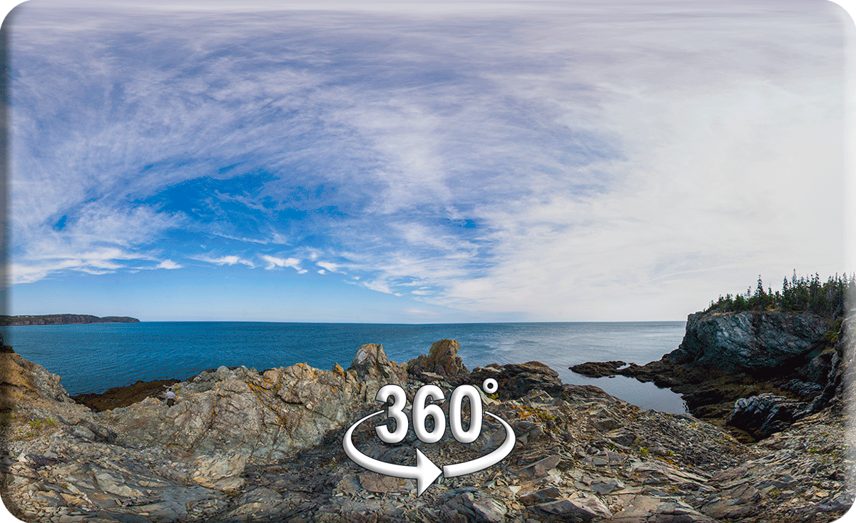 View from the top of the Fish Head formation in Grand Manan Island, NB. Click the pic.
Bird Sanctuary & Anchorage Prov Park~
Overview and Hiking~
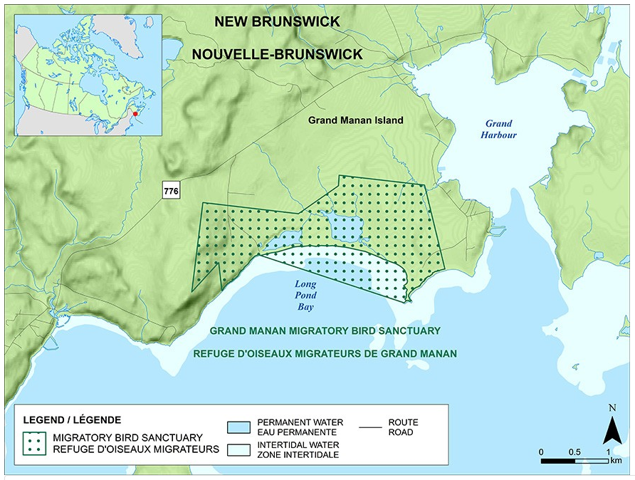 Above~ From the Govt of Canada Grand Manan Migratory Bird Sanctuary page.
Below~ Screenshot of Hiking NB’s page on Anchorage Provincial Park Trails in Grand Manan, NB.

There are several trails within The Anchorage Provincial Park boundaries that are also within the Bird Sanctuary, most notably the Long Pond, Bagley and Great Pond trails. You can also hike in from the west near the previously mentioned Fault Line on Red Point, or from the east on Ox Head. Hiking NB has good coverage of these on their Anchorage page, it pays to check it out before you go. The Anchorage Beach Trail goes on forever (seen below).

Back to the Harbour~
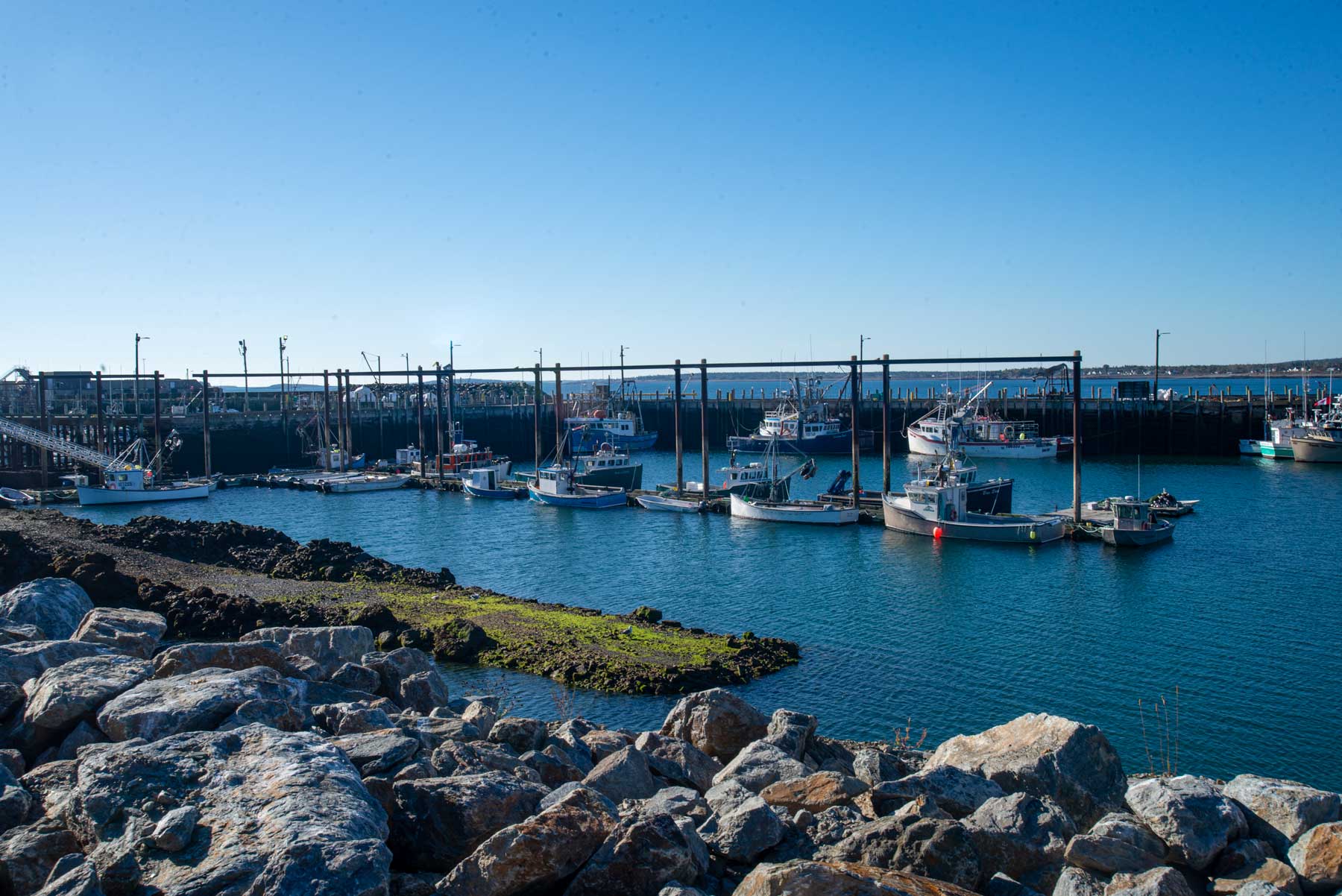
…and we wound up back where we came in, at the North Head Harbour. What a beautiful island!

Notes~
I’d go back. There’s something about this place…
I hope some of the information on this page will be of use to you. If you see errors or omissions please let me know in the comments section below or contact me via email.
Links~
Grand Manan Island Tourism~ Official site.
Grand Manan Island~ Tourism NB page.
Grand Manan Island~ Wikipage
Visit Beautiful Grand Manan~ Great website, worth checking out before visiting.
Lighthouses~
Southwest Head Lighthouse history~ from Lighthouse Friends.
Swallowtail Lighthouse~ Lighthouse webpage.
Swallowtail Keepers Society~ blog.
Swallowtail Lighthouse history~ from Lighthouse Friends
Swallowtail Lighthouse history~ from Wayback Times.
Swallowtail Lighthouse~ Wiki page.
Long Eddy Point Lighthouse~ from Explore NB webpage.
History of Long Eddy Point Lighthouse~ from Lighthouse Friends.
Seal Cove~
Seal Cove Center~ Preservation effort of this historical site–great website by Peter Cunningham.
Hiking~
Hiking on Grand Manan~ Hiking NB page–nine main trails plus all the sections and feeder trails.
Friends of Grand Manan Trails~ Volunteer organization, helps maintain trails, publishes Heritage Trails & Footpaths.
Red Point Trail~ Hiking NB page.
Anchorage Provincial Park Trails~ Hiking NB page.
Geology~
Grand Manan Geology~ excellent website, treasure trove of info with many resources by Greg McHone.
Geological Map of Grand Manan~ from earth2geologists.net

Grand Manan Topographical Map~ from earth2geologists.net.

Mesozoic Field Guide~ Self-guided tour starts on page B6-10. Great overview by Greg McHone.
Rocks and minerals on Grand Manan~ from earth2geologists.net
Red Point Rocks on Grand Manan~ great info and photography from Jessica Winder. Worth clicking.
Birding & Sealife~
Grand Manan Migratory Bird Sanctuary~ Government of Canada website.
Grand Manan Bird List~ incredible website and photography by Mitch Doucet.
Prime Briding Locations~ as put together by the late Brian Dalzell of Grand Manan.
natureconnexion.ca~ Great resource information from Mitch and Irene Doucet.
Tours~
General Info~ from Modern Traveller.
Puffins & Whale Watching Tours~ from SeaWatch Tours.
Whale & Wildlife Tours~ from Lambert Family Adventures.
Birding & Nature Tours~ from Mitch and Irene Doucet.
Sea Kayaking Tours~ from Adventure High, their 37th year.